Sunday, January 26, 2014

Mt Ellinor In A Little Snow

There are not too many accessible hikes that we have had on the list to do like Mt Ellinor on the Olympic Peninsula. It has all of the stuff we look for in a hike - it is steep and has a big payoff on a clear day.

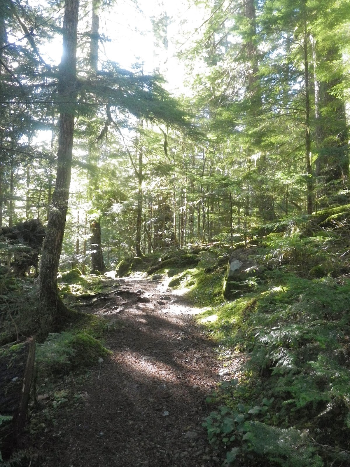
So it was that on a clear day Pam, Christy and I headed up from the lower trailhead  towards the summit. The lower part of the trail is a fantastic, old growth forest that is worth the additional 3.2 miles round-trip. We made our way to the junction with the upper trailhead in no time and found a trail etching telling up that Chris was ahead on the trail somewhere.


From the junction the trail becomes steep, and at 4200 feet the snow began to be an issue. We plodded along as the view began to reveal itself with great overlooks. As we neared the top of a steep section of snow we saw Chris heading our way. He had heard about the Mountain Goats at the summit and chose not to get too close.


Since we were following a group with a dog we figured the goats would relocate once the dog drew near so we headed up. The views from the summit are 360 degrees of pure glory with the Olympics on one side and the Cascades on the other. We had clear views of Mt Baker, Glacier Peak, Mt Rainier, Mt Olympus and plenty of other lesser peaks in the Olympics. Mt Adams and Mt St Helen were obscured by the mist on the horizon.


We spent some well deserved summit time before heading back down. The famed glissade chute was not in shape because of the lack of snow, but we were able to get in one glissade long enough to have some fun and bruise my tailbone a little.


On the steep section where we first ran into Chris I slipped and tried to use my trekking poles to self arrest which only served to snap one of the poles. I flipped and did a proper self arrest and then made my way down and was able to get enough of the pole together to aid in my descent, but new parts were necessary for any future use.

We arrived back at the car after 6.3 miles and 3283 feet of elevation gain. We were in one piece - more or less- and ready for some grub at El Puerto de Angeles IV in Hoodsport. This is a hike to aspire to. It is difficult, but the payoff is tremendous.

Be very well and more soon.....

Sunday, January 19, 2014

Lena Lake Trail To "The Grotto"

Pam, Garry and I headed up the Lena Lake Trail Saturday with a goal of heading past the lower lake and through the Valley Of Silent Men to get some miles in. We ended up deciding on going to "The Grotto" which we learned of along the way.

The main trail to the lower lake was in great shape although you could see where there was recent work to clear blowdowns - presumably from last weekend's storm.


We made the overlook at the lower lake in a little over and hour and had a snack before continuing on. There was more evidence of recent blowdowns, but nothing that slowed us down. It was in the section past the campground that is past the bridge around the corner from the lower lake where we ran into some down hikers who had spent the night out by the grotto.

They didn't describe it at all, but we were heading that way anyway so we continued. A little further on we came upon another hiker whose destination was the grotto. He described it better and we decided that would be a definite stop along the way.

At just over 5 miles we came to another bridge and there it was. "The Grotto" is an area where a creek is forced to go through and over some boulders that are piled steeply in a narrow draw. It was pretty enough for pictures.


We had another snack and then headed back down. There were more people heading up to the lower lake as we cruised down. All in all we had a little under 4 hours of moving time and 10.16 miles and 2342 feet of elevation gain.

A nice lunch at El Puerto de Angeles IV in Hoodsport and we were fueled for the ride home.

Be very well and more soon.

Tuesday, January 7, 2014

Using Up The South Trails In The MTTA System

Our first reservation for a cabin in the MTTA system this year (skimtta.org) was Saturday night at the Yurt which is the most remote of the four in the system. With the low snow levels this year we parked at the middle Snow Park which left us a little more that 5.5 miles via the Lower Yurt Trail.


Snow hiking is a little slower than hiking, but it is faster than snowshoeing and we were at the Yurt quickly despite one blowdown to navigate along the way.


We dropped our packs, had a quick bite and used the low snow conditions to explore the Griffin Mountain area above the Yurt. We followed the road to a likely trail and followed it to a peak only to realize that it wasn't Griffin Mountain but a lower peak instead.


We headed back down and around scouting other ways up Griffin Mountain and ended up finding some fantastic views of Mt St Helens, Adams and Mt Rainier. We eventually headed back down to the Yurt and met up with the rest of the group.


We busted out tons of appetizers and transitioned into dinner. Our group did themselves proud as usual and we ate like royalty. Wine and whiskey and port followed along with a game of Cards Against Humanity which matches its name quite well.


The next morning we had lots of coffee and tons of food choices and a large group headed up the Griffin Mountain Trail. Five of us with the intent of bagging Griffin Mountain and the others to enjoy the great views the trail has to offer.


Sherrie, Garry, Rob, Dave and I headed up a "route" that Sherrie and Rob saw to the ridge. I use the quotations there because a scramble route is not like a trail. We all made the ridge and began scouting a route to the main peak and quickly realized we would have to descend 100 feet and then navigate some trees for a couple hundred yards and then make our way up a rocky, icy approach to get the peak. Time constraints kept the peak of Griffin Mountain out of our reach this time, but we did bag the lesser peaks on either side of it.

We met back up with the group at the Yurt as people were packing up for their trip back to their cars. Four were headed via the Lower Yurt Trail and the rest of us were heading to Snow Bowl. Pam, Garry and I were staying another night at Snow Bowl and Sherrie wanted to show the cabin to Rob and Ryan.

We arrived and had a snack before the three of them headed back down. Shortly after they left a group of 4 arrived that were staying the night so we gave them the rundown of how things worked and headed down to the Ski Patrol area for the night.


At 7 AM Monday we headed down the trail. At the junction where we could go down to the car - 2 miles- or head up to High Hut - an additional 3 miles - we headed up. The views were magnificent and one of the folks who spent the night was kind enough to take a picture of us.


On the way down we took another turn and opted for the Anderson Lake trail which meant adding another 3 miles to our route. The trail had some strangely cut brush which had some pointy, 1 inch diameter, 12 to 15 inch tall "stumps" left behind. I would NOT hike that trail again because a simple fall could result in a serious injury. It actually looked like an animal trap in some denser areas.


Once past the lake you are back on a forest service roads. We encountered a crew that was readying to take out a beaver dam. There were lots of cat tracks on the trails all weekend including some very well defined bobcat tracks.


By the time we got back to the car we had turned a 3.5 mile walk out into over 9 miles and a mainly downhill walk into 1930 feet of elevation gain. All in all, we hiked over 28 miles and 7150 feet of elevation gain in the 3 days of hiking.


Be very well and more soon....