Tuesday, May 27, 2014

Huckleberry Creek Trail

Pam, Phyllis and I hiked the Huckleberry Creek Trail near Greenwater to Prospector Creek and back for 11.23 miles and 1718 feet of elevation gain Saturday.

This trail is not a beginner level trail in all seasons since there are 22 bridges/boardwalks in varied condition from almost new to very mossy and wobbly to nearly reclaimed by nature. With the creek running fast and full as it was Saturday, it was not a trail for the faint of heart.


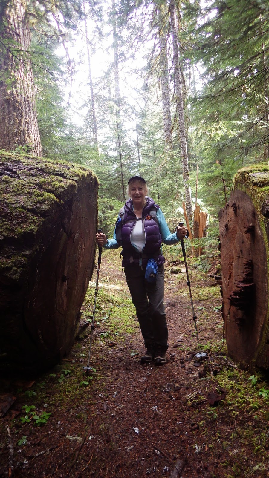
This is another great old growth forest hike replete with blown down trees both old and new. We encountered 9 new ones along the way. The oldest ones are now nurse logs providing fuel to new plants. There are some huge root balls that line parts of the trail.


The trail was in great condition and snow free for the first 4 + miles.  The patches of snow we encountered were easily navigated without traction devices.


We made it to Prospector Creek which had taken over the trail and the girls decided that would be a perfect turn-around spot so we headed down. This is a great choice to get some miles in early in the season as long as you have trekking poles for help in crossing bridges and enough confidence to cross them.

We used our new found home made "Lara Bars" for fuel on this trip. They are great and easy to make. Here is recipe one.

Cherry Lara Bars

1 Cup Raw Almonds
1 Cup dried Tart Cherries
1/4 cup pitted Dates
1/4 tsp Cinnamon
1 tiny dash of salt

Add nuts to a food processor and process until small, but not meal state. Add everything else and process until it comes together.

Line a loaf pan with saran wrap or wax paper and press the mixture in the pan. Use another pan to flatten it out if you wish or do it by hand. Freeze or refrigerate for 30 minutes and then flip out and cut into six bars. I individually wrapped them and put them in the freezer until we are ready to use them.

Be very well and more soon.....

Tuesday, May 20, 2014

Snoquera Falls Two Ways

We hike with lots of different groups with lots of different abilities and goals. On Saturday 5/10 we hiked the Snoquera Falls loop with a friend who is new to hiking and had open heart surgery 7 months ago so we took the falls loop only for a goal and headed out.

The trail was in great shape and the falls are running heavy this time of year so we had a great hike with some spectacular views even though it was overcast.


On Friday Pam and I set out to hike the area on our own and saw a report of a loop that we thought was 13.7 miles and 2600 feet of elevation so off we went.

We began with the same trail past Snoquera Falls and then took the trail down to the White River Trail and then to the Pallisades Trail and eventually around to the Ranger Creek Trail and back to the White River Trail and our original trailhead at Camp Sheppard.

The Pallisades Trail gives you another waterfall and some great elevation gain. You gain over 700 feet in the first mile of the trail and then you reach the stairs and keep climbing. The trail takes you to the ridge, but not before you find some snow to navigate. We handled it without traction devices and had no route finding issues.


Once on the ridge it stays close for quite a while. It was overcast so the pictures aren't of the sweeping views you would get on a clear day. The trail eventually turns back in and takes you to the Ranger Shelter where the junction with the Ranger Creek Trail is.

In the first mile down the Ranger Creek trail there were 9 significant blowdowns to negotiate. Some were good head scratchers.  The remainder of the trail was easy and in great shape. We made the junction with the White River Trail and the last 1.6 miles to the trailhead.

The total mileage was 16.69 miles and the total elevation was 3729 feet which made for a great - longer - day hike in 6:30 total time.

Be very well and more soon....